


A powerful winter storm system unleashed heavy lake-effect snow across the Great Lakes region this Thanksgiving, creating hazardous travel conditions and prompting blizzard warnings as millions of Americans attempt to reach their holiday destinations.

The weather system, which began dumping snow on Wednesday, intensified Thursday with relentless winds driving snow bands from the north and northwest across much of Michigan’s Upper Peninsula. The National Weather Service issued a blizzard warning for Alger County, located east of Marquette, Michigan, with dangerous conditions expected to persist until 7 p.m. Thursday evening.
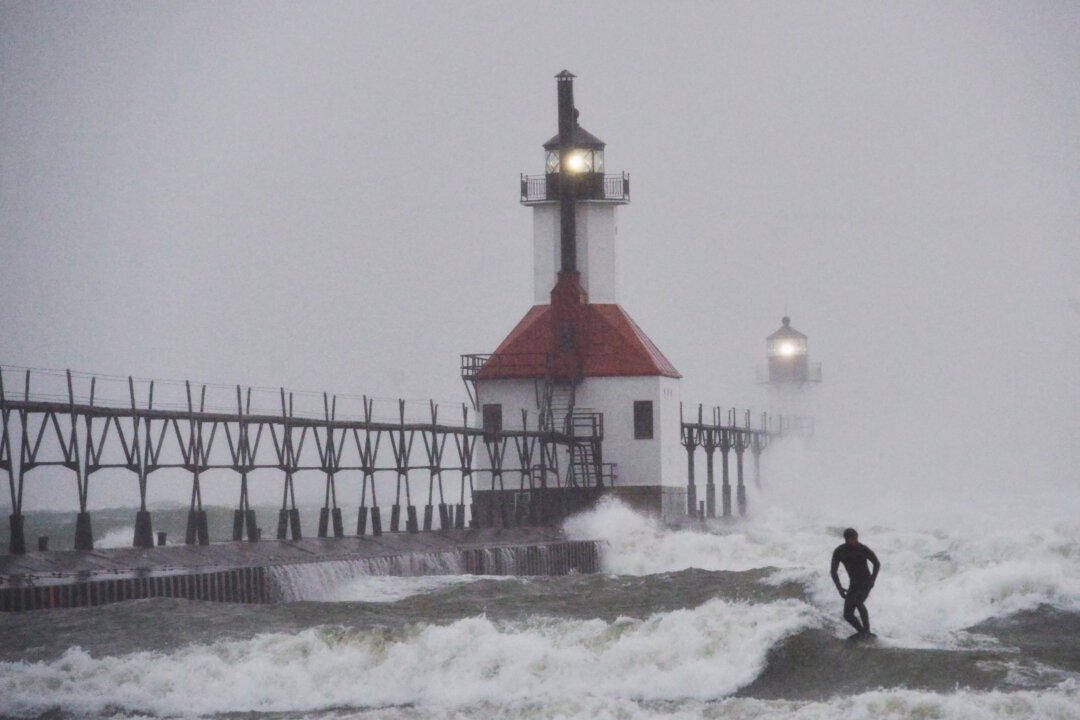
Lake-effect snow, a phenomenon that occurs when cold air masses move across the relatively warm waters of the Great Lakes, has been particularly severe in this latest weather event. The temperature differential between the lake water and the frigid air above creates intense, localized snow bands that can dump several inches of accumulation in just a few hours.
The timing couldn’t be worse for the estimated 55 million Americans traveling for Thanksgiving, traditionally one of the busiest travel periods of the year. Roads throughout the affected regions have become increasingly treacherous, with visibility dropping dramatically during the most intense snow squalls.
Michigan’s Upper Peninsula, accustomed to heavy snowfall during winter months, is bearing the brunt of this particular system. However, the storm’s reach extends beyond state borders, affecting travel corridors throughout the Great Lakes basin and forcing travelers to reconsider their routes or delay their journeys entirely.
Local emergency management officials across the region have urged residents and travelers to exercise extreme caution, recommending that non-essential travel be postponed until conditions improve. The combination of heavy snowfall, strong winds, and reduced visibility creates a dangerous scenario for motorists unfamiliar with winter driving conditions.
Weather forecasters warn that lake-effect snow can be highly unpredictable, with accumulation rates varying dramatically over short distances. Areas directly downwind of the lakes typically receive the heaviest snowfall, while locations just miles away may see significantly less precipitation.
Airport operations across the region have also been impacted, with numerous flight delays and cancellations reported at major hubs including Detroit Metropolitan Wayne County Airport and other regional facilities. Travelers are advised to check with their airlines for the most current flight information before heading to airports.
The National Weather Service continues to monitor the system closely, with meteorologists tracking the storm’s movement and intensity. While conditions are expected to gradually improve by Friday, the aftermath of heavy snow accumulation will likely continue to impact travel well into the weekend as crews work to clear roads and restore normal traffic flow.
For residents of the Great Lakes region, this early-season snowstorm serves as a reminder of winter’s approaching grip on the area. Local road crews have been working around the clock to maintain major thoroughfares, but secondary roads and rural areas may remain challenging to navigate until the storm system moves out of the region.


